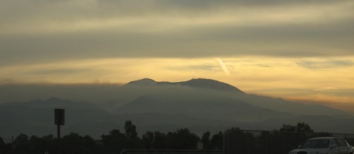
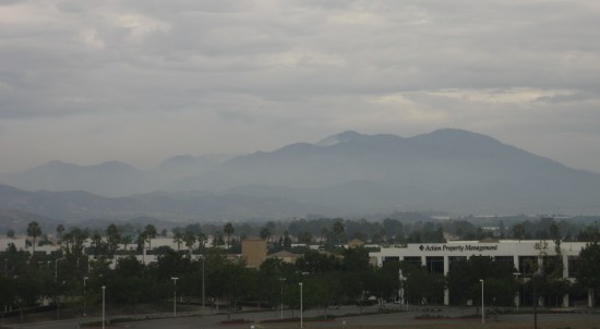
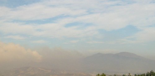
On a clear day in early October, I went driving up into the Tustin Foothills to see what I could see. I took a bunch of photos at a turnout, and also stopped at an intersection that gave me a nice view of Peters Canyon, the hills behind it, and Saddleback in the background. I used this photo a few weeks later for my drought post.
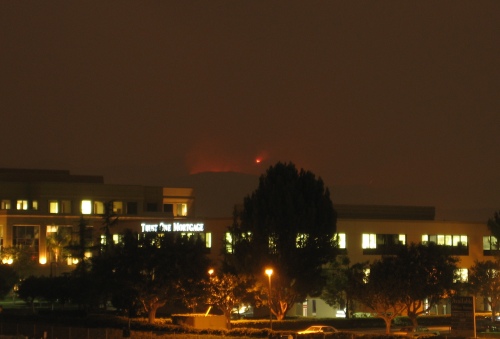
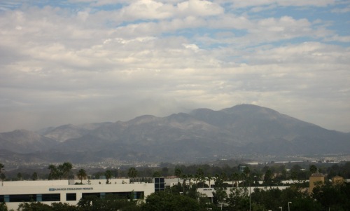
After the Santiago Fire, I waited for another clear day (which took several weeks), and set out to do it again and see just how far north the fire had reached. I managed to get a great pair of before and after photos from the intersection of Foothill and Lemon Heights.
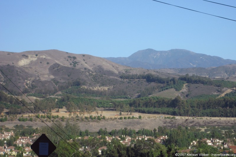
October 6, 2007. Click for a larger version
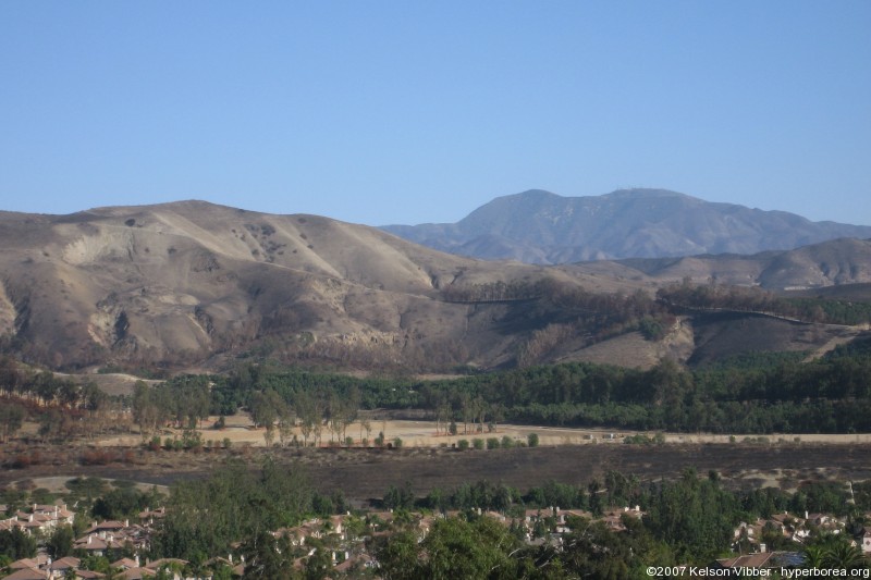
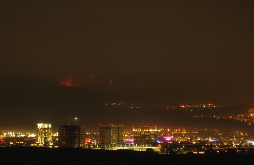
November 24, 2007. Click for a larger version
While the orchards seem to have been spared, you can see the field in the foreground looks scorched, and most of the trees making up firebreaks seem to have died. More dramatic are the hillsides. Before the fire, you can see expansive dark patches of scrub, wide expanses of lighter dried grass, and occasional dark green bushes. Now it’s all dirt, except for the blackened remnants of the bushes. There are several gullies whose sides were hidden and softened by the ground cover, but are now starkly visible. And after this week’s rain, they’re probably eroded even more.
A few notes: The air was somewhat clearer for the “after” photo, and it was earlier in the afternoon, so the angle of the sunlight helped pick out terrain features a bit better.
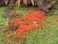 They also finally cleared away the remnants of the tree that collapsed on Sunday. They chopped it up into smaller pieces, and moved it off the sidewalk, but left the stacks of logs, branches, the stump and piles of sawdust sitting on the lawn for the rest of the week. After a day or so, the sawdust turned almost bright orange. My best guess is that they ran the sprinklers.
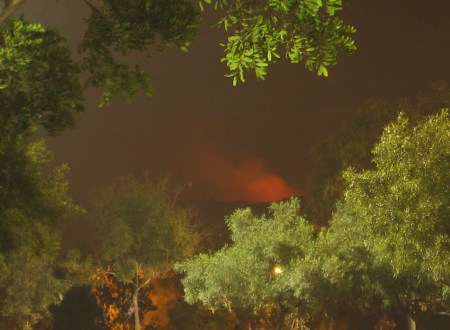

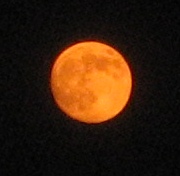 I ended up leaving the office after dark, giving me a chance to take some pictures of the orange moon (it was actually a bit past first quarter