Here’s our first view of the island of Hawai‘i, as our plane approached on Sunday morning, April 3. Snow-capped Mauna Kea is rising out of the clouds, with Mauna Loa behind it.
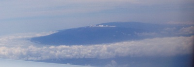
View of Mauna Kea from the plane

A week later, we spent Sunday evening waiting for our flight out of Kona Airport. (After a disastrous experience at LAX in which we arrived 2 hours ahead and got to the gate with maybe 15 minutes to spare, we showed up early for the flight home. But Kona’s much smaller and better organized, so it took us maybe 15 minutes to check in. There wasn’t even a line to go through security!)
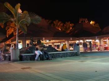
Kona airport at night

I hope you’ve enjoyed this series on our Hawaiian vacation. I’m sorry it took so long to finish it, but hey, I managed (just barely) to beat the 6-month marker!
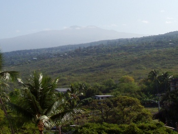
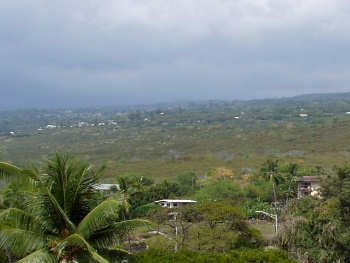
Flashback to April and Hawaii. On the day we drove to Kilauea we stopped at various places along the way. And since it’s a nearly-100-mile drive from Kailua, there was a lot to see.

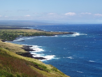
We never made it down to South Point (the southernmost tip of the island), partly because of time and partly because—believe it or not—our car rental contract forbid us to drive on the 12-mile road out to the point! Supposedly it’s poorly maintained—or it used to be, and the policy hasn’t kept up—and they don’t want the wear and tear on cars that aren’t designed for it. As I recall, rental trucks and SUVs don’t have the restriction. This was the closest we ever came to it, and you can only barely see it way off in the distance.

Coastline with coves and points

If you look at the end of the spray near the visible point, then go straight up toward the horizon, you’ll notice that the sky-sea line dips downward slightly and there’s a faint darker patch of sky. As far as we could tell, that’s the promontory heading out toward South Point. Even then, we weren’t quite sure. Update: It’s not. I checked the map when I finally uploaded these images to Flickr, and the highway doesn’t get close to the ocean on the west side. It’s a viewpoint near Haleokane, east of Naalehu and east of the turnoff to South Point Road. We’d already passed it!

Continue reading

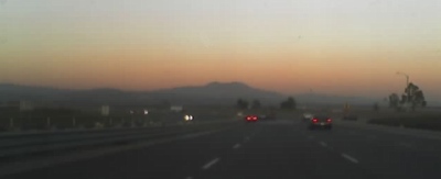
About a month ago I posted about noticing the Belt of Venus—the red band that circles the entire horizon just after sunset—and the Earth’s shadow on the sky. I snapped this picture on the drive home this evening. This is looking east, away from the setting sun.

Looking east toward Saddleback at sunset.

If you look at the right edge of the picture, behind the silhouette of the tree, you can just see the red band fading into the dark gray of the Earth’s shadow.

(And to think, I almost brought the good camera with me this morning… Update: It turns out that I did bring it, and just didn’t realize it was there. Oh, well.)

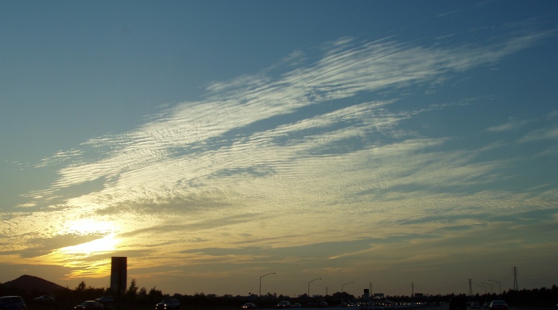
Here’s a picture of last Wednesday’s sunset (September 14) as seen from the 405 in Irvine.

Sunset with clouds (and monolith!)

The photo links to a larger copy.

And no, I wasn’t trying to get the “monolith” in there. I don’t remember exactly where this was, so I’m not even sure what the sign is for.

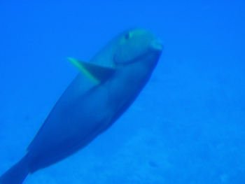
On the same day as our whale-watching cruise (April 6), we took a submarine tour of Kailua Bay from Atlantis Adventures. The tour started at the Kailua pier, where a boat ferried us out to the submarine in the middle of the bay. The sub itself went down to around 80-90 feet by the end of the trip, and we got to see all kinds of fish and coral.

Fish below Kailua bay

It didn’t look nearly so blue to us, of course, since our eyes were adjusted to it. Continue reading

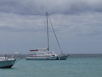
One of the first tours we signed up for on Hawaii was a whale watching tour. We figured even if we didn’t see any whales, we’d still have spent a couple of hours on a sailboat. It was April, near the end of the season, and we booked a tour through Red Sail (via Travelocity) on their catamaran, the Noa Noa:

View of catamaran, the Noa Noa

Continue reading

»All pages site-wide with this tag